


Improve your visitors’ experience with an aerial map designed for your attraction, site, event, campus, village or town.
Costs ↓ Get a quote ↓ Have a look at some examples ↓
I create friendly, illustrated visitor maps that make exploring attractions easier, and a lot more fun.
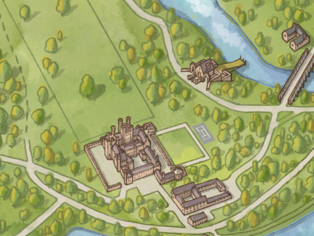
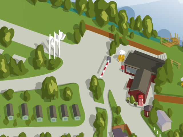
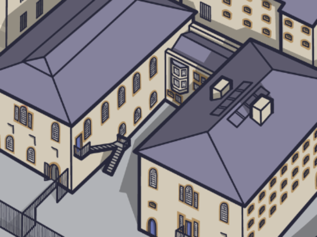
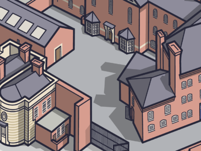
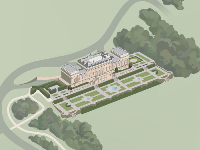
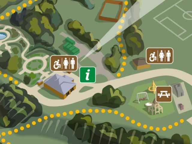
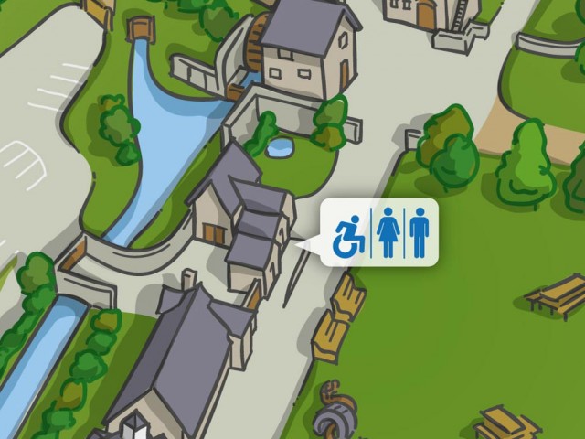
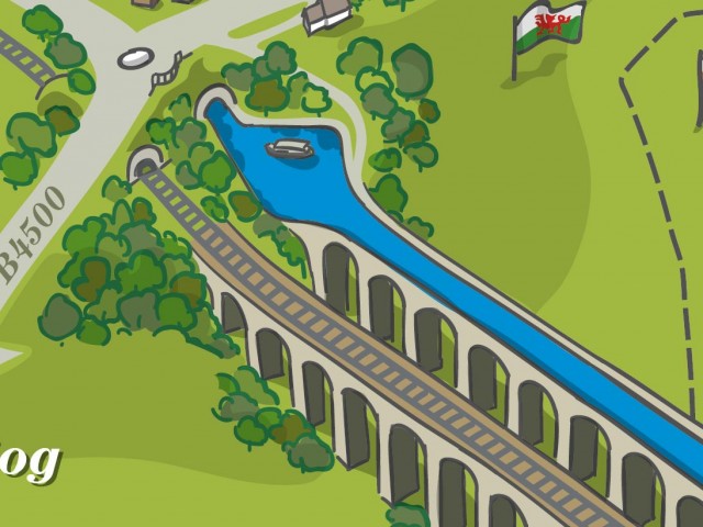
Flat ‘street’ maps are great, but aerial view illustrated maps are so much more accessible for your visitors.
With this style of map people can quickly recognise features, buildings and objects and understand where they are and how to get where they need to go. And usually with a lot less arguing.
I hand-draw the digital illustrations with separate features on different layers making it much easier to amend if anything changes in the future – so the map can grow with your business over many years.
The maps are designed to meet the needs of you and your visitors and can be styled to match your existing visual assets.
This type of map illustration is perfect for…
Visitor orientation boards, a school or college campus, reception areas, site interpretation, walkthroughs, visual reconstructions, artist impressions and attraction signage, as well as printed maps in leaflets, and as digital versions on hand-held mobile devices and on your website.
Jump to: Choosing a Style ↓ How I work ↓ Timelapse Video ↓ Who owns the map? ↓
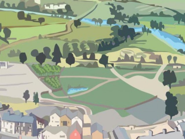
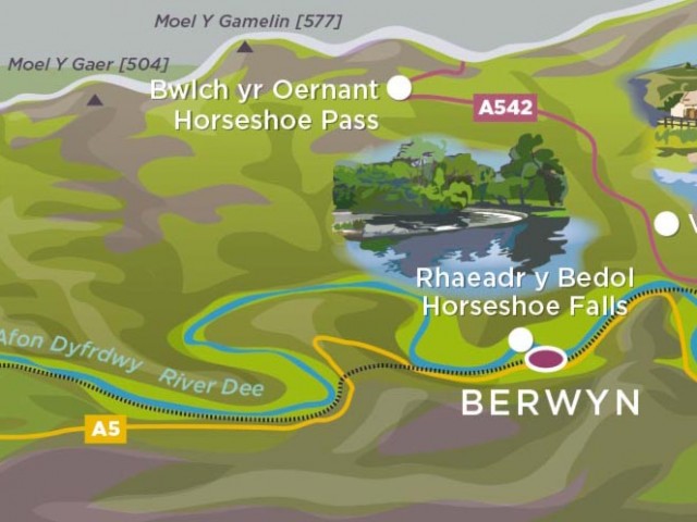
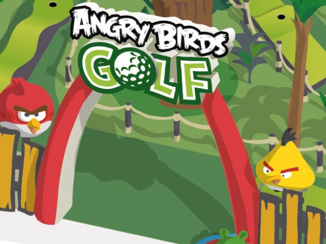
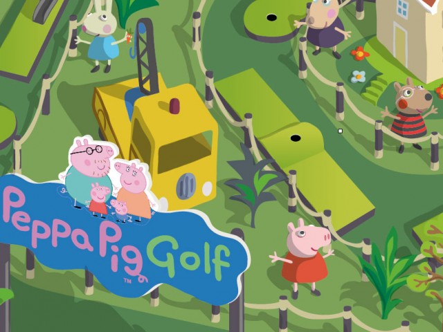
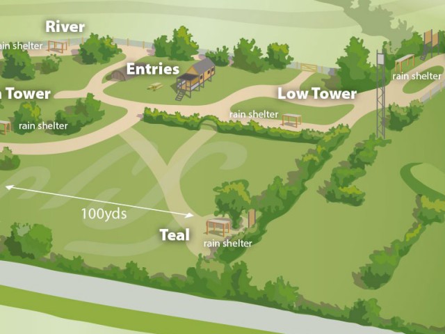
Some of my aerial illustrated maps
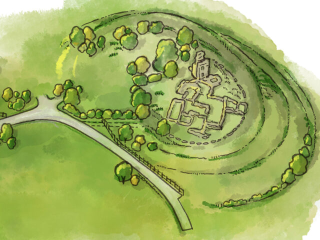
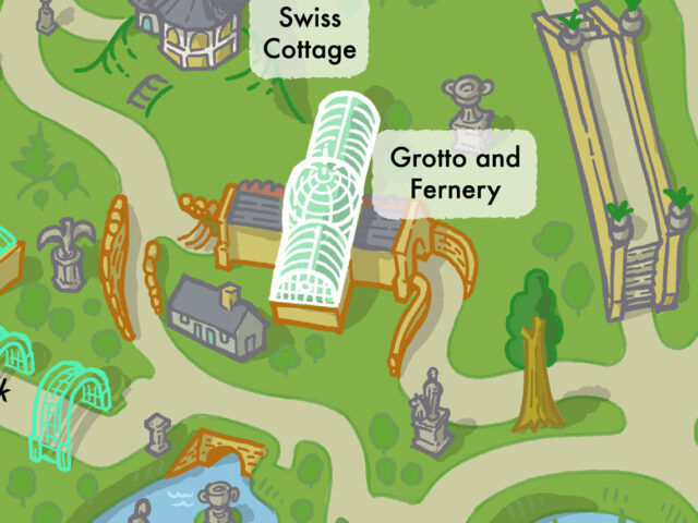
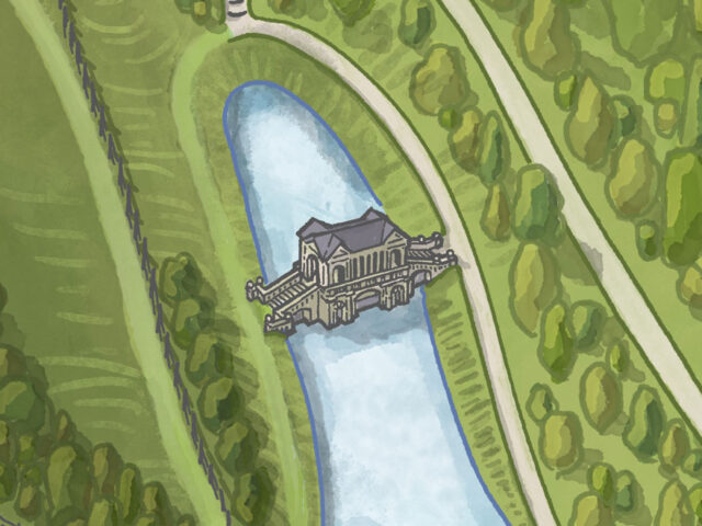
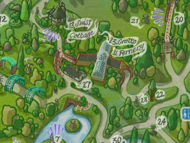
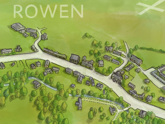
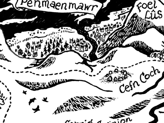
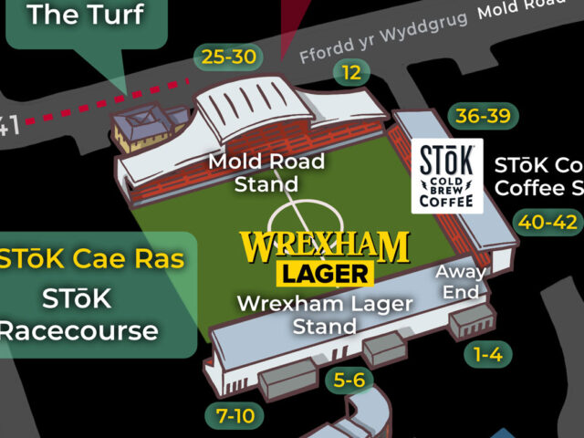
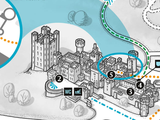
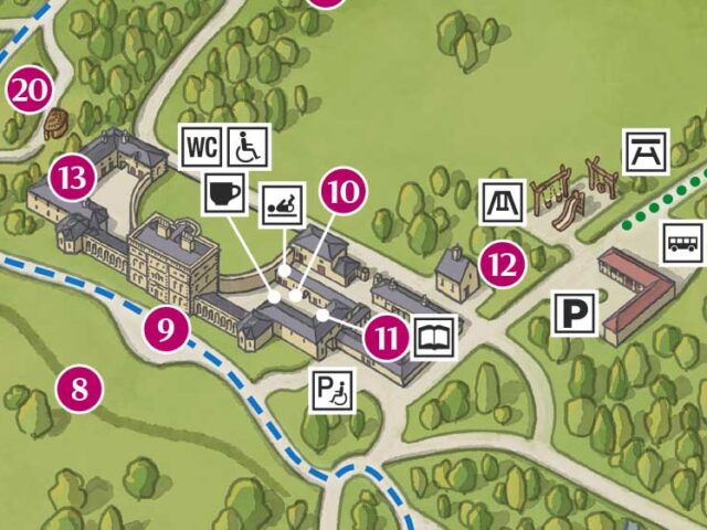
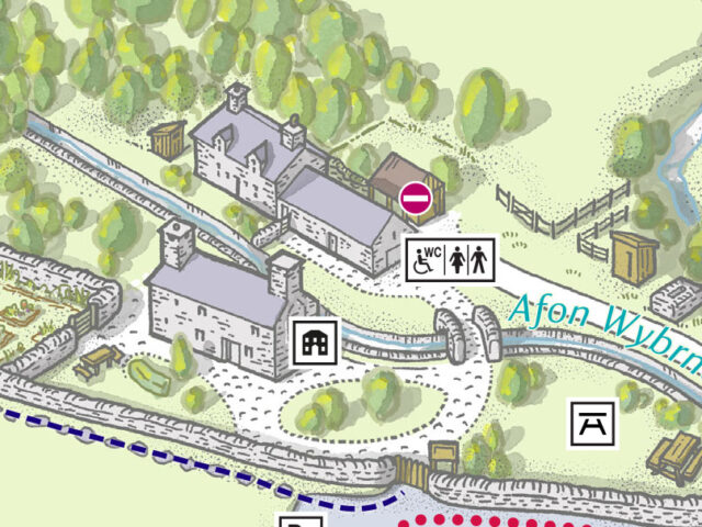
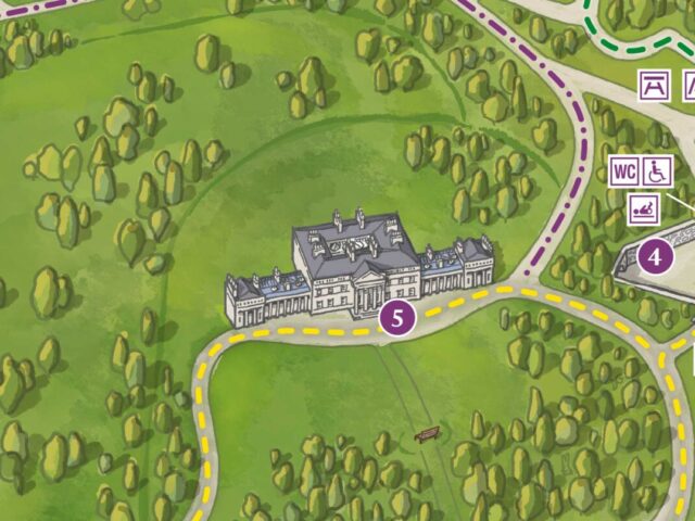
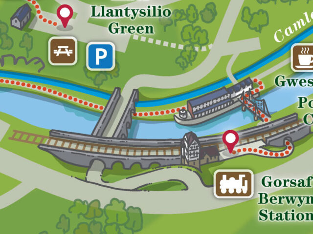
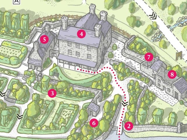
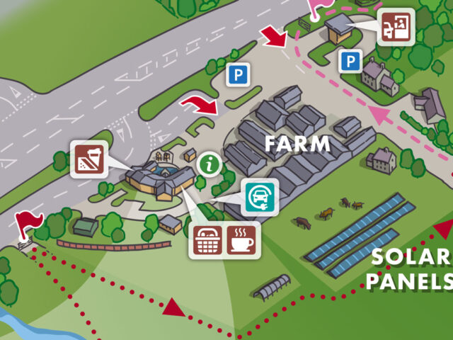
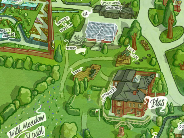
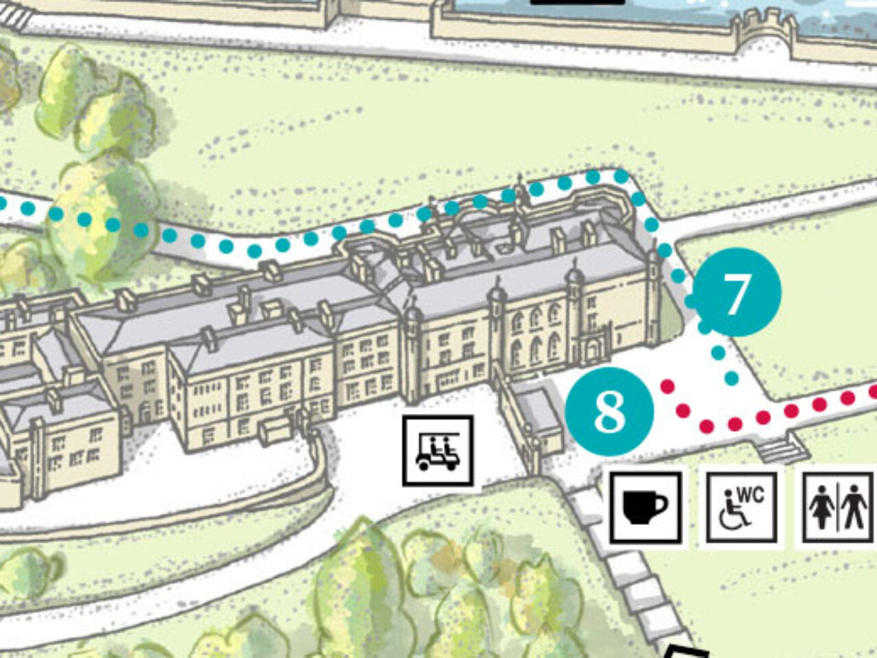

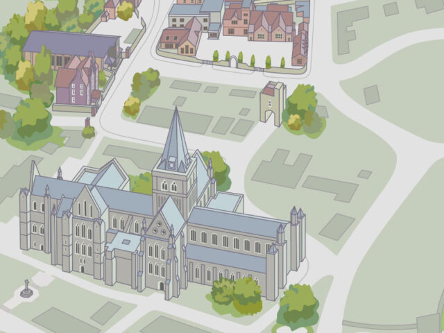
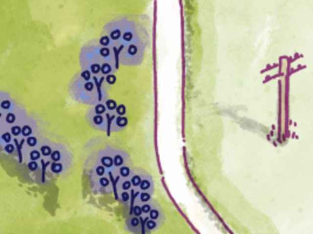
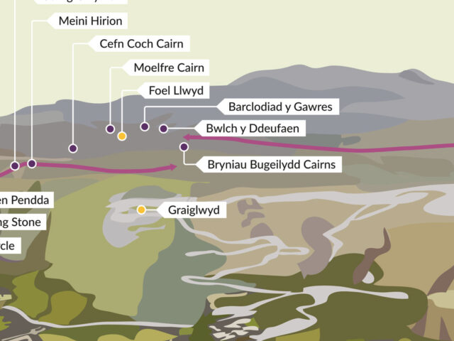


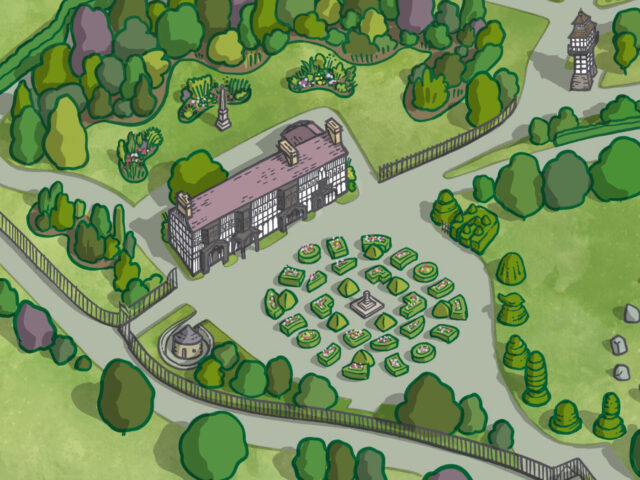
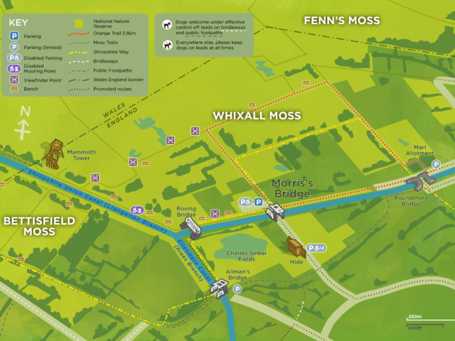

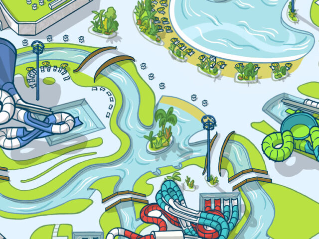
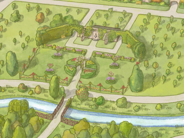

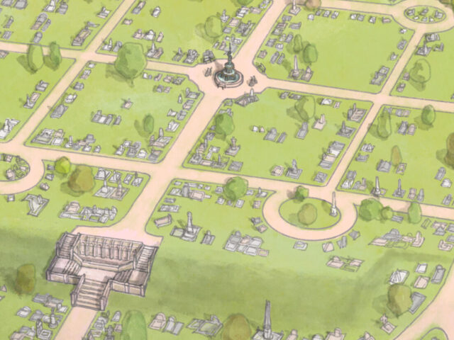
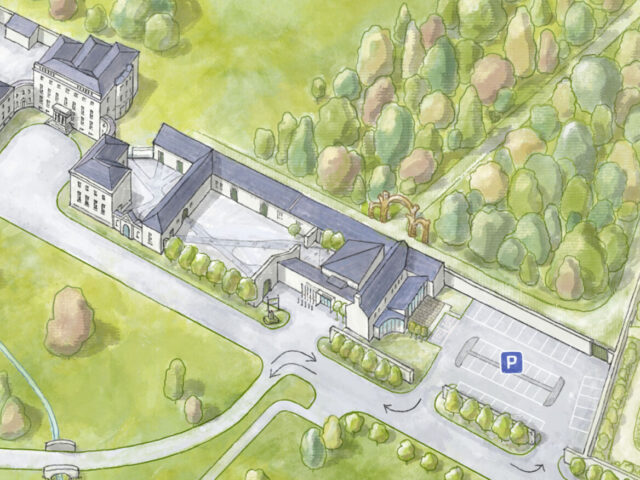

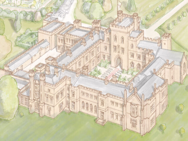
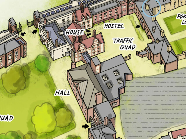
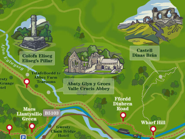


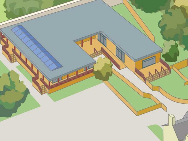
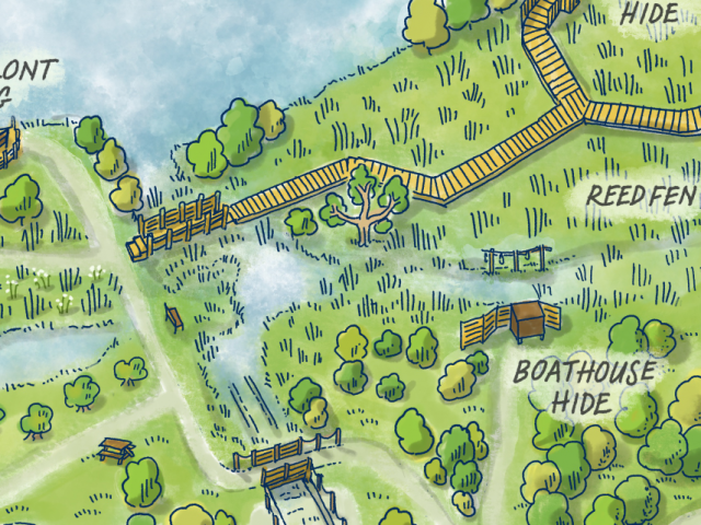

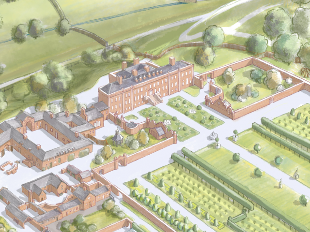
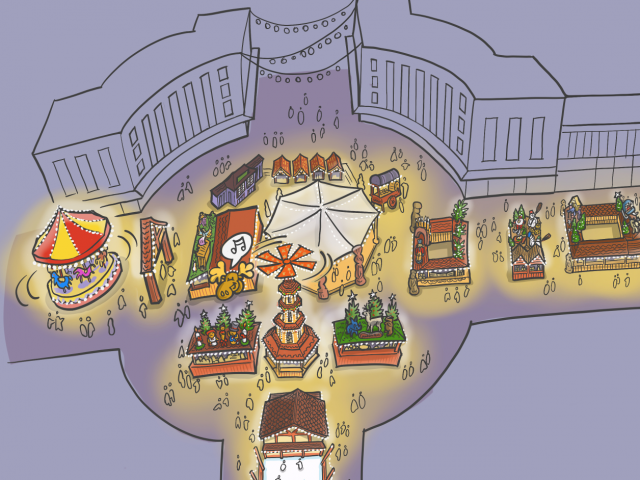
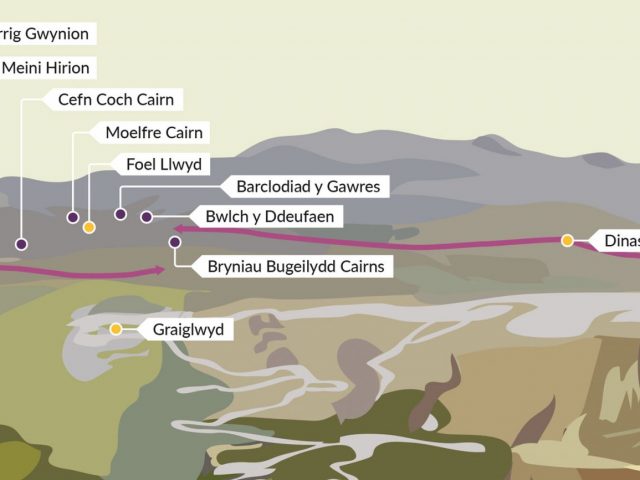
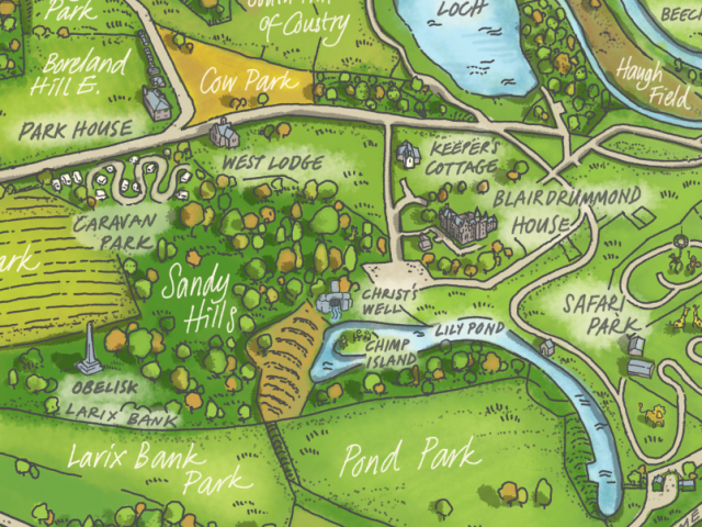
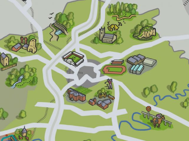
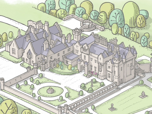
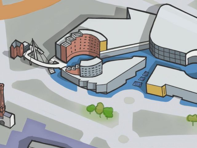
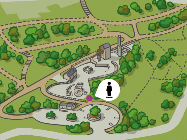
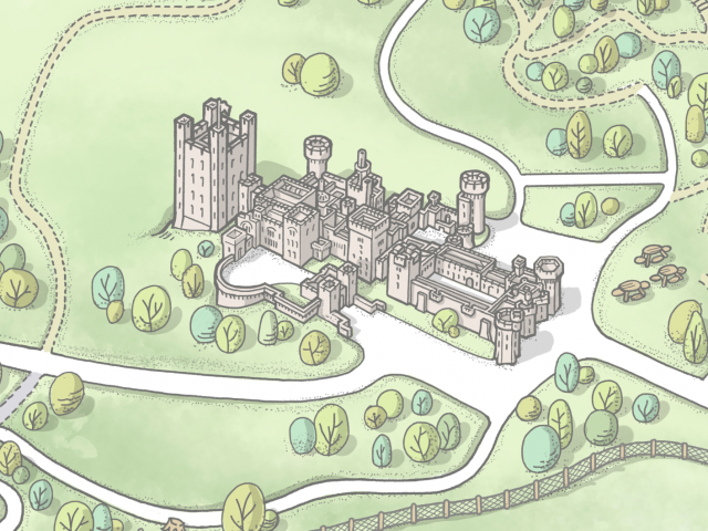
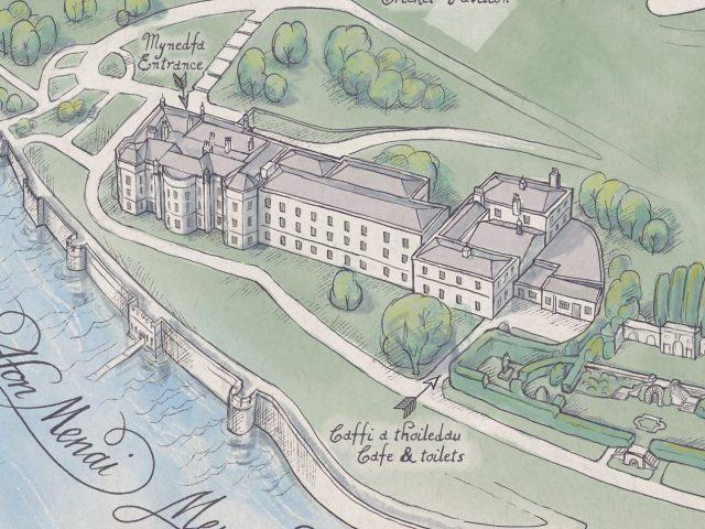



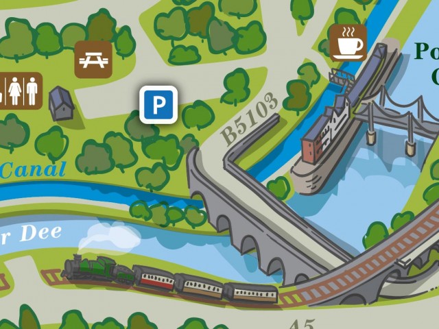

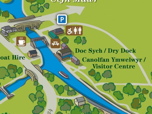
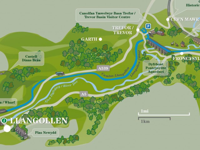
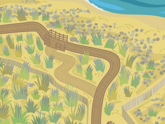

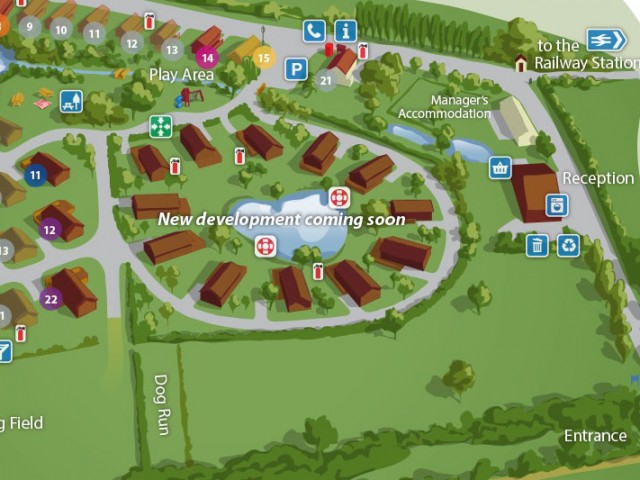
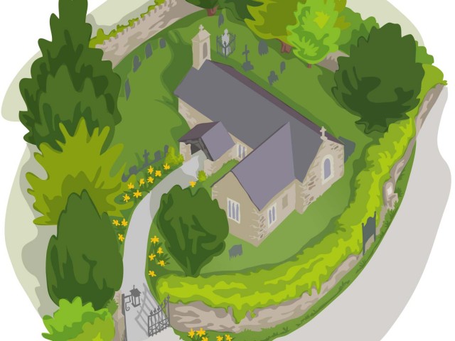
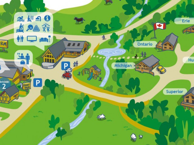

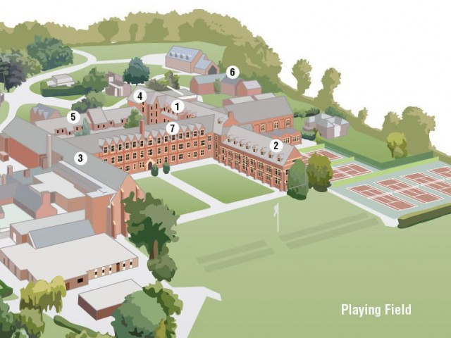
How I work
I can work from aerial photos, ground photos and plans that you provide or I can visit your site for a ‘walkabout’ survey.
Sketch
After our initial discussion, once we’ve agreed an orientation and items that should be included or not, and the optional visit, I send you a pencil sketch of the map for approval. I can make any changes to the drawing at this stage until you’re completely happy with it.
Artwork and amendments
Once you okay the sketch I go ahead with drawing the colour vector, or hand-drawn map. Minor amendments can be made after this stage. These amendments could be colour correction, label overlays and for the digital styles only, moving/enlarging/deleting features on the map. Large changes, such as changing the angle of the scene, would involve a redraw and incur extra cost.
Supply of the final artwork
For the vector formats, the final artwork will be sent to you as a high-resolution layered Adobe Illustrator and EPS or flattened PNG ready to use.
For the physical hand-drawn or painted maps I supply you with detailed scans of the finished illustration in bitmap formats – JPG or PNG for example.
Timelapse video of the process
Who owns the final artwork?
You. Copyright passes to you on final payment, and I supply you with the original layered file in case I fall under a bus or, heaven forfend, you’d like to have amendments made elsewhere. You can do anything you like with it – it’s entirely yours.
I do sign my maps – so if another designer does extensive reworking at a later date then it’s only fair for them to remove the signature and add their own. It’s easy to do as it’ll be on the final artwork on its own layer.
Get a quote – go on – it’s the last time I’ll ask, I promise ↓
Costs
Of course, this style of map does cost more than a simple street plan style as there’s much more work involved. But the benefits from having a professional looking, easy-to-navigate site map in print, on signage and online, make it a valuable marketing tool and a great investment for your attraction. It’s more appealing to people planning a visit and so very useful for your visitors when they’re actually on site.
A basic aerial view illustration starts at about £1,250, and a more complicated illustration with many elements, say a village or small town with lots of buildings, about £3,500. For my simpler street plan style maps costs start at around £475.
To give you some idea of costings I can send you a lovely little PDF showing previous projects and their rough costs. Just outline your project below and I’ll send it over. Or give me a call on 07890 139874 for a chat.
I can work from information you provide but if you’d like me to carry out a site visit the cost is £380 plus 50p per mile there and back.
There’s no VAT to pay. I require half the quoted cost up front, and balance on completion.
Any additional work will be at £70 per hour or can be quoted for.
Need a quote?
Let me know the kind of style you’re interested in and how many features/buildings are to be shown and I’ll sort you a quote. Call me on 07890 139874 or use the form below…