


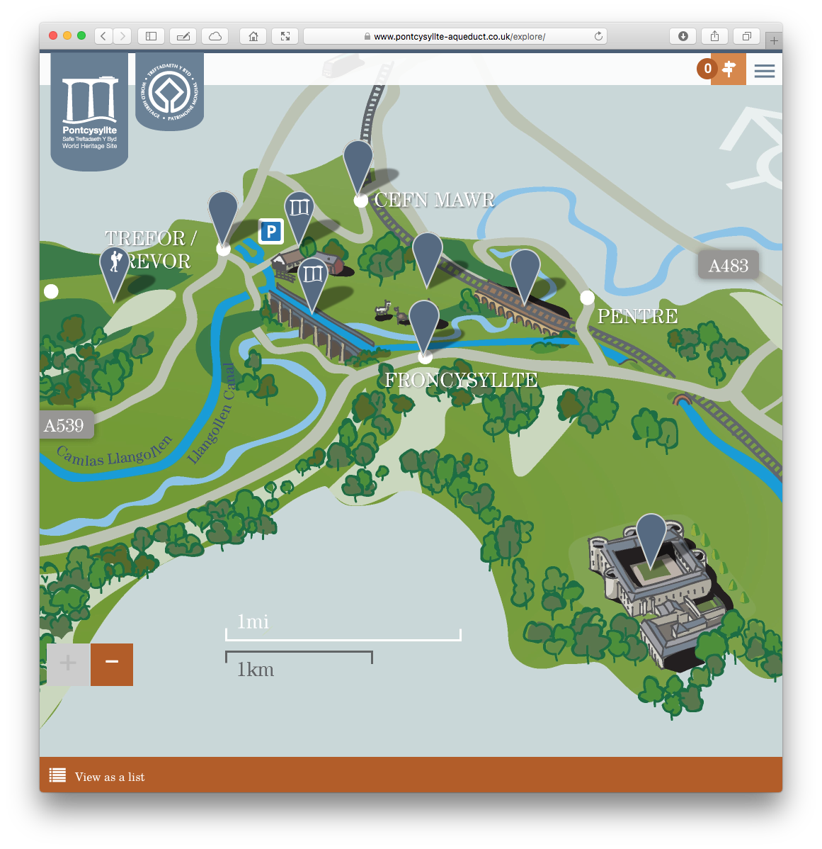
This map is used in a printed fold-out leaflet and on the Pontcysyllte Aqueduct website as an interactive map…
And also in signage I’ve just discovered in Chirk at the entrance to the castle…
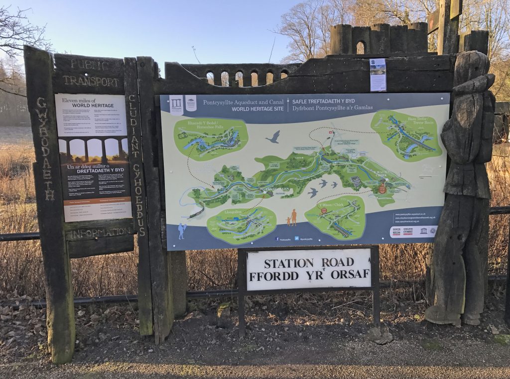
The four inset maps are here in more detail:
This map is used in a printed fold-out leaflet and on the Pontcysyllte Aqueduct website as an interactive map…
And also in signage I’ve just discovered in Chirk at the entrance to the castle…
The four inset maps are here in more detail: