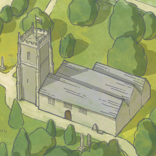
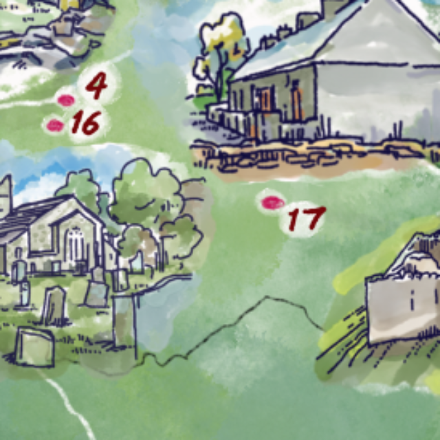
A group of the highest landscape in Eryri / Snowdonia – North Wales highlighting the lakes, mountains and natural features of the area.
This cut-out 3D angled style shows the physicality of the geology and is a layered vector illustration allowing it to be used on a website at a small file size. One of the layers is a set of illustrations I was commissioned to draw.