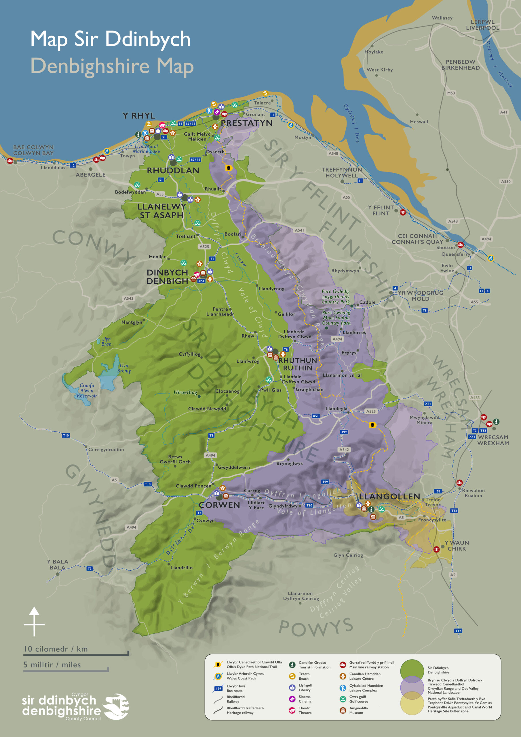
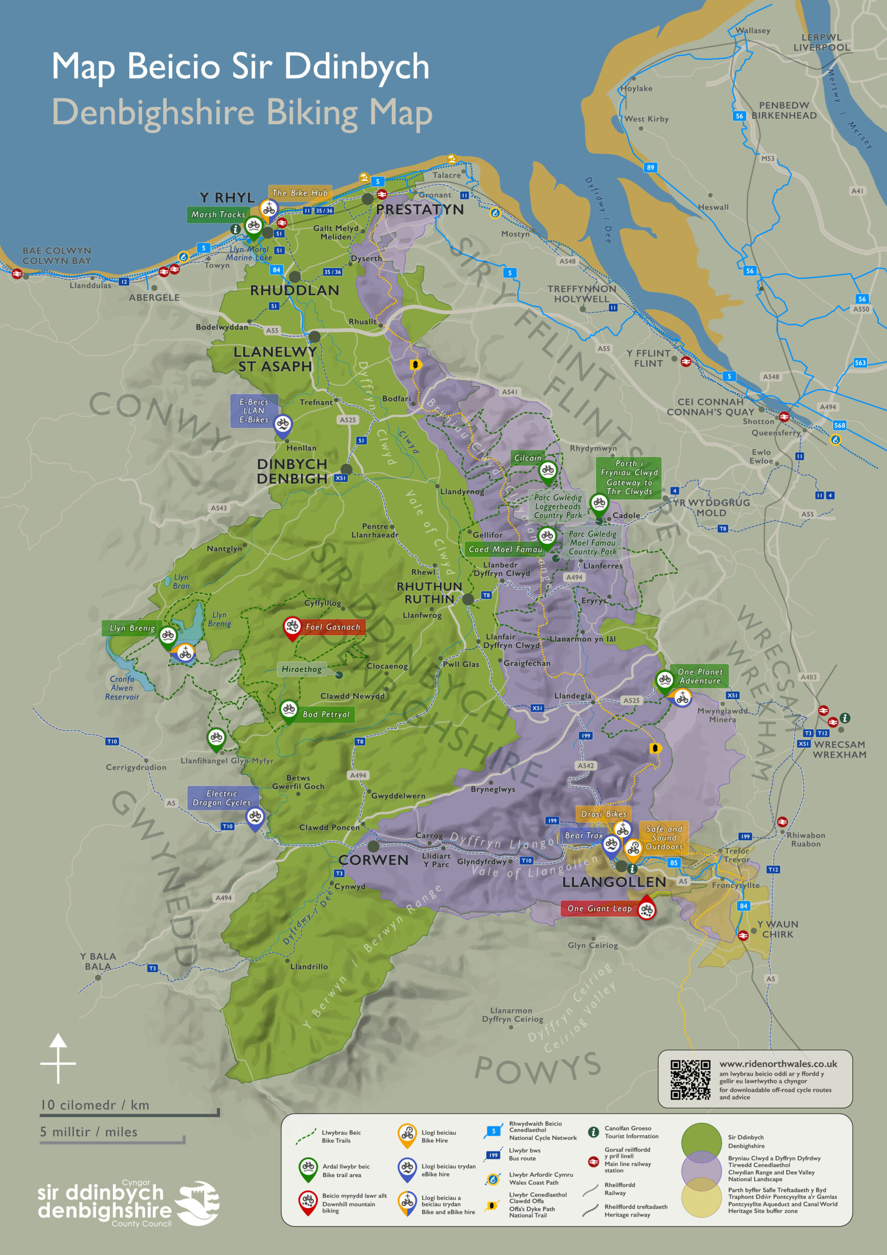
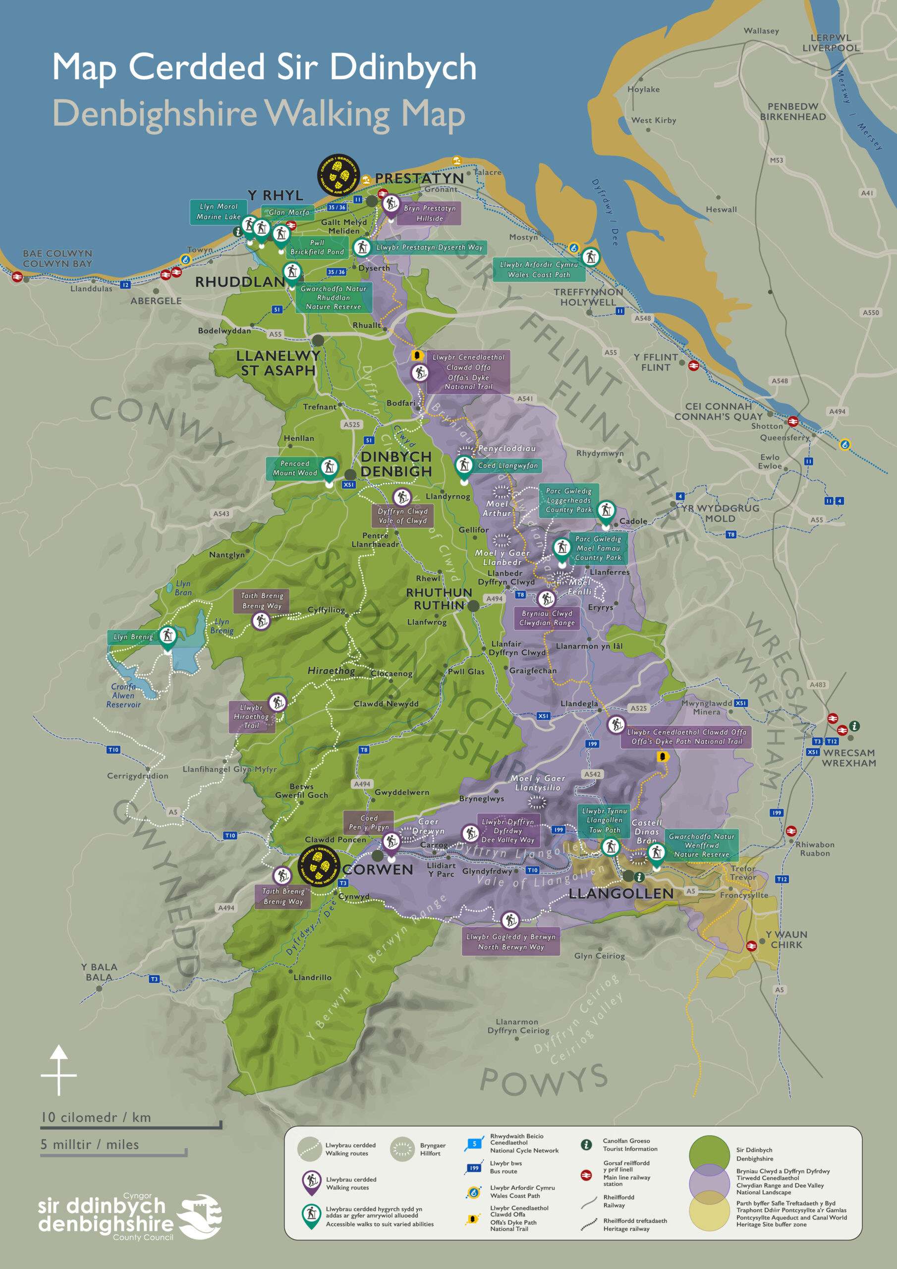
This was an extensive project of a set of maps for tourists reflecting different aspects of the county with a slight 3D feel including terrain mapping.
I worked with the tourism team on four maps; a general Landscape version that covers the roads, rail and bus routes as well as local facilities, an Attractions map including small illustrations showcasing local visitor sites, a Walks map highlighting the many walking local and national routes dotted around the county including accessible routes, and a Cycle map showing the National Cycling Network routes in the county and showcasing bike trails and bike hire business in the area.
The Attraction map illustrations are all vector images as the final version of this map needed to have an SVG version for website navigation.