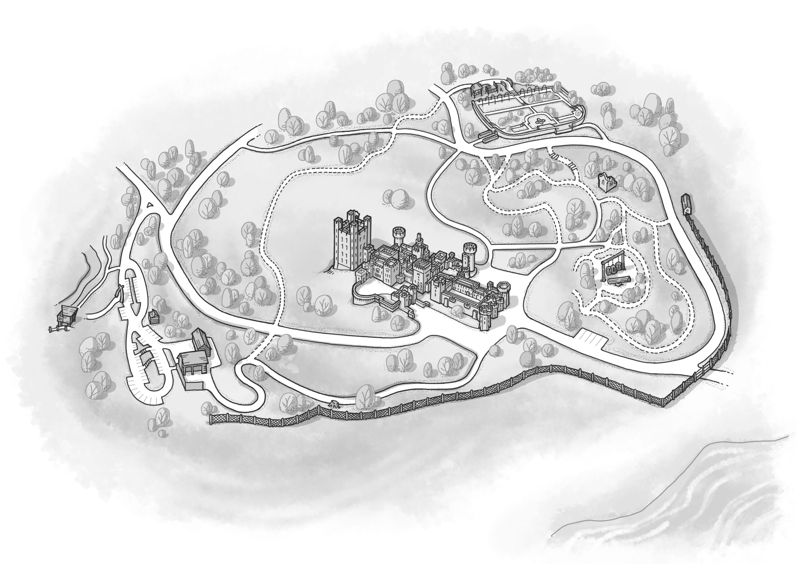
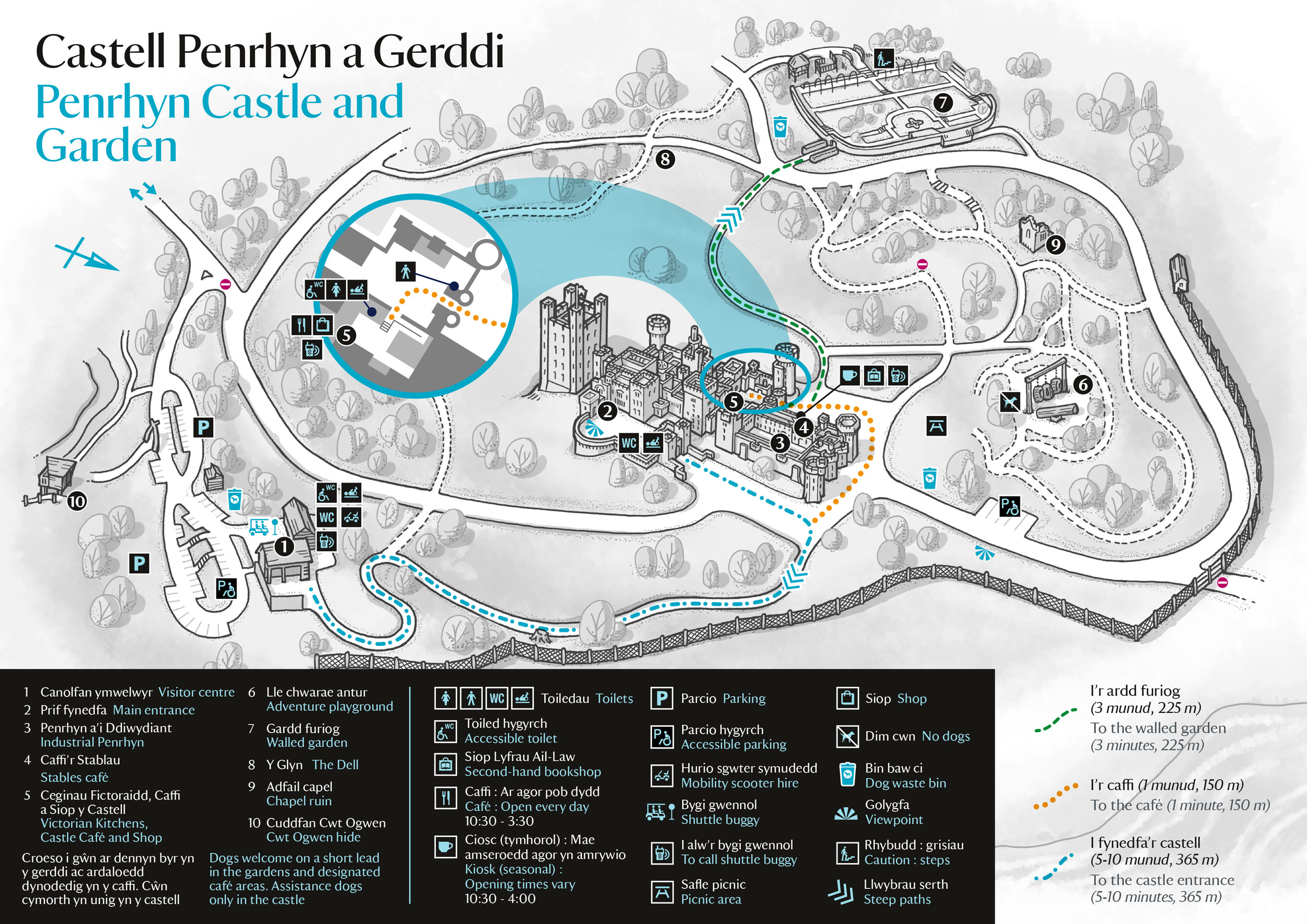
I worked on an updated version of this map for a National Trust castle in North Wales. This version has the background illustration in black and white for better visual clarity. And we added a clearer inset plan view of the important back part of the castle that was hidden by the front of the castle.
The bottom image shows the final layout with the Trust’s icons, typeface and details are picked out in a blue from their provided palette. And the walking routes stand out nicely against the greyscale illustration.